Looking for the legacy homepage? It's still here!

Welcome to SatCORPS
The Satellite Cloud and Radiation Property Retrieval System (SatCORPS) is a collection of acquisition, processing, prediction and display tools focused on the use of satellite data to improve knowledge of atmospheric thermodynamics and clouds to better characterize their impacts on weather and climate.
How do the algorithms work?
The SatCORPS algorithms are state-of-the-art theoretical and empirical inversion methods for estimating atmospheric characteristics from polar-orbiting, geostationary, and precessing-orbit satellite measurements with account for satellite-specific spectral response and cross-platform calibration.
What type of access to the data is provided?
This website provides tools for the access, display and interpretation of near-realtime and historical satellite-derived and satellite-informed surface and atmospheric data products.
Who distributes the data?
These datasets are available to the American public and global users in the form of both imagery and data-mining-ready netcdf files. The generation and distribution of these datasets are supported by the NASA CERES and various NASA ROSES programs, as well as the Department of Energy ARM and ASR Programs.
Service Offerings
Tools

Visualization tools are provided that provide pertinent information and that aid in the interpretation of select data products.
 OT Climatology Datasets
Contrail Forecast
Angles Viewer
OT Climatology Datasets
Contrail Forecast
Angles Viewer
Products
Visualize near-realtime satellite imagery and derived products. The product viewer allows control of the animations within the viewer.
GOES-WEST
GOES-EAST
HIMAWARI-8
Campaigns

View information and data products provided to support field campaigns where researchers take on a wide range of science investigations across the globe.
ARM-TRACER
CPEX-AW
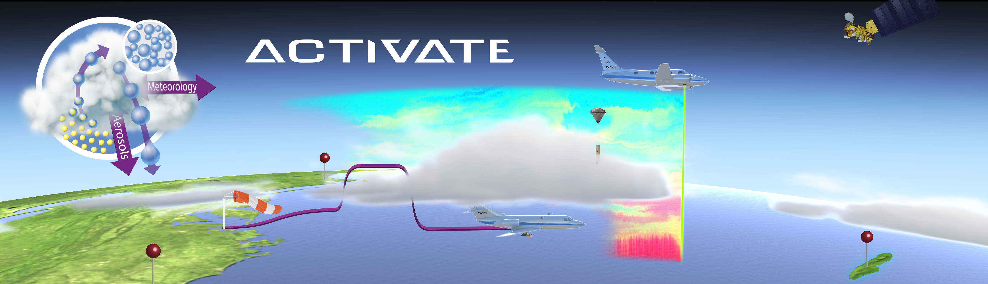
ACTIVATE
Publishing Requirements
All of the datasets provided on this website are part of ongoing research projects with some being documented in peer-reviewed journal articles. Others have not yet been published. Users of the data for research leading to publications should contact Dr. William Smith (william.l.smith@nasa.gov) before publishing any papers that include data from this site.
Resources for Quality Research
For any derived cloud, icing, and radiation products, it is in the best interest of individual researchers who use these datasets to ensure that they are using the latest and highest quality products available. Either Dr. Smith or other group members can provide the proper references, caveats, or level of participation needed for any given request.
Acknowledgement Requirements
The source of the data should be properly acknowledged and/or co-authorship should be offered depending on the level of documentation and contribution of the particular dataset. If only the satellite imagery are used then we ask only for a simple acknowledgment.